
- This event has passed.
Training on Participatory Development of Multi-Disaster Risk Map using QGIS | 21-23 March 2017 | Viet Nam
21 March , 2017 - 25 March , 2017
 This training is one of the key activities at the regional level under the Building Urban Resilience in South East Asia project supported by the European Commission’s Humanitarian Aid Department (ECHO). The project supports Red Cross Movement partners in Cambodia, Laos, Viet Nam and Philippines to increase the capacity of local government authorities and Red Cross for disaster preparedness and response through working together to improve community-based disaster risk reduction tools. Thus, as part of the project an innovative and user-friendly risk mapping method for urban Disaster Risk Reduction (DRR) has been developed.
Aim
To present this new risk-mapping method to Red Cross National Society staff and representatives from authorities who are actively involved in Disaster Risk Management and in disaster preparedness and response.
Objectives
After this 3-day training, the participants are able to:
• Explain:
o Basic concept of QGIS
o Benefits of using QGIS for participatory development of a multi-disaster risk map to support Disaster Risk Management
o Steps of information collection in the community (including usage of GPS in smart phone)
o Steps of using QGIS to develop and update the multi-disaster risk map
o Steps of using QGIS risk map for planning, post-disaster damage and need assessment, and raising awareness for community at urban and peri-urban areas
• Practise participatory development and update the multi-disaster risk map at urban and peri-urban areas using the QGIS software
• Develop an action plan for developing QGIS multi-disaster risk map after the training
Expected Outcomes
– Participants have increased knowledge and ability to put into practice the news participatory mapping method in order to develop local urban multi-disaster risks maps
– Participants have increased knowledge and ability to put into practice the key concepts of community participation and gender and disability inclusion in risk mapping
Participants
Viet Nam Red Cross Society staff and/or representatives from Disaster Management authorities who are actively involved in Disaster Risk Management or disaster preparedness and response and who are willing to pilot the new mapping method in urban context.
 Outcomes
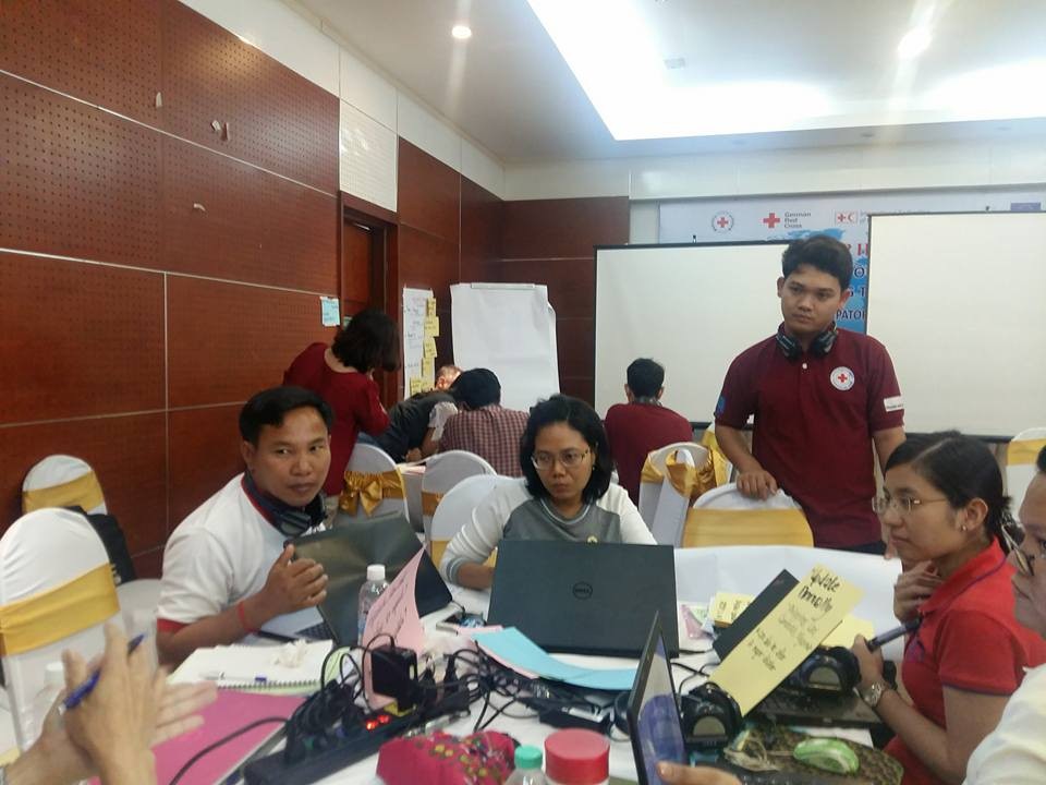
During the workshop, the project team members from Cambodia, Philippines, and Lao PDR discussed and worked in group to practise and draw maps through the software. The development process of these community maps was based on paper mapping and importing of the data from paper mapping into the QGIS program.
After the workshop completion, the project team and participants from VNRC and the government partners provided feedback and comment about the utilization and practice of QGIS software including the handout/manual which provided the step-by-step procedure.
Next Steps
At the end of the project, in October 2017, a second Regional event will take place. Lesson learned from the use of this participatory multi-disaster risks mapping method in support to DRM planning will be gathered and documented as inputs for the finalization of the method.
![]()